'To Be or Not To Be' - The question our rivers are asking

You would have heard stories from
your father about he going to swim in river streams on sunny afternoons during
his summer vacations. You would have also heard stories from your grandmother
about she plucking fruits and flowers from trees along the rivers. Our
grandparents, parents all were connected with the river, to be precise rivers
or water bodies were an integral part of their daily routine. But where have
they gone today? Have we become so busy or the rivers where we can swim are
lost somewhere? Or our deeds have forced them to ask us the question ‘To Be or
Not To Be’. This column attempts to answer its readers where have we as a human
race have gone wrong in addressing the nature’s concerns and how we as the most
intelligent animals can correct our wrong deeds.
The river flow is a framework
which interconnects people, places, different forms of life and simultaneously inspiring
& sustaining diverse cultural beliefs, values and ways of life. There are
castes in India which are completely dependant on the rivers for their
livelihood. They earn their daily bread through the river economy. The
community’s dependency on river economy is diverse and inter-dependant exposing
its economic, cultural, identity and spiritual linkages. Rivers and its
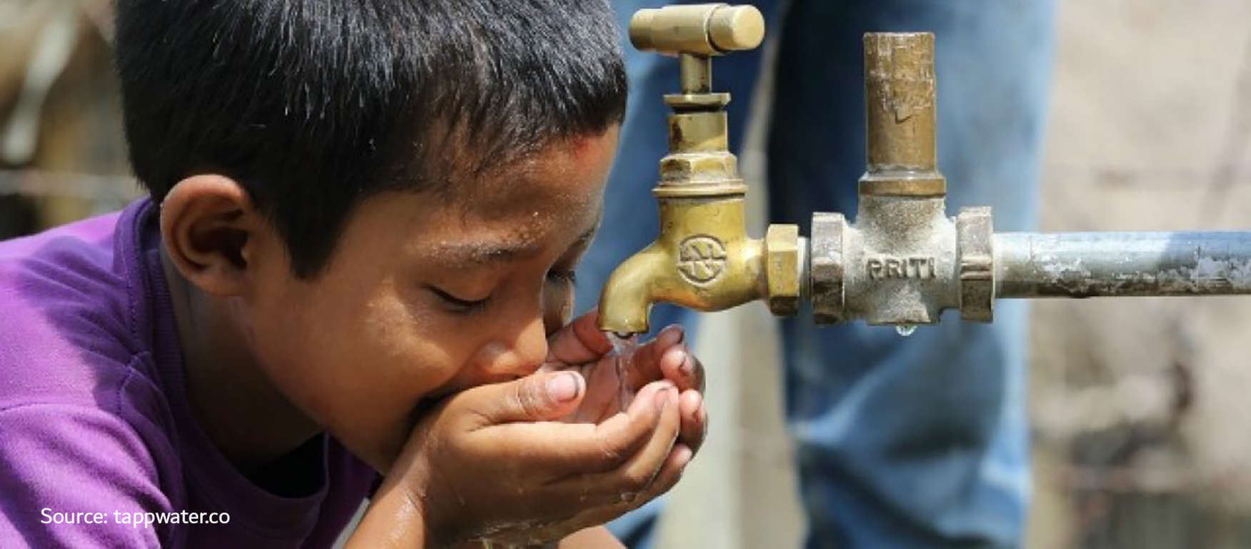
tributaries are the biggest source of freshwater for urban areas. A close study
of ancient civilizations and current metros shows us that all of them are
located along a major perineal river or a huge water body. These rivers have
seen the city grow leaps and bounds and they have played a role in its growth
too! But have we given them the credit for what they deserve? The rivers are
not just an asset of the area through which they flow, but they are the
national asset.
Our rivers which were earlier
home to the water creatures are now home to toxic pollutants. Toxic industrial
waste mixed with domestic sewerage have destroyed the riverine ecosystem. River
banks which were home to rich flora and fauna are now home to encroached
concrete jungles. Tributaries or streams / nallahs which met the rivers are
either encroached by concrete embankments or are covered using pipelines. Human
greed for wealth increased to such an extent that we created lands by
encroaching riverbeds. Wide riverbanks were decreased to mere streams, perennial
rivers were succumbed to torrential streams and the river sand was excavated
illegally as a construction material. In satisfying our needs we have clearly
ignored the river’s call to help and survival.
It is not that nothing has been
done to save the rivers, but the efforts taken are nothing against the damage
done and efforts taken are very localised which have failed to understand the
nature of river flow and environment. Sabarmati riverfront is always considered
as a case study in river conservation and beautification, which many cities try
to replicate but what they fail to understand is that river flow in Sabarmati
was ensured right from Narmada to Gulf of Khambhat. An integrated and holistic
view was taken in conserving the river and not localised interventions.
Particularly in Maharashtra, municipal corporations take care of the river
flowing through their jurisdiction by constructing water treatment plants and
sewage treatment plants. But a lot of untreated sewage is directly released in
the river once the river flows out of the municipal boundary. Here the
adjoining villages suffer which do not have the resources or the capacity to
treat the water.
Here metropolitan planning comes
into picture. A metropolitan area is any area having a population of more than
1 million, consisting of two or more municipalities and which may span over
multiple districts. The 74th Amendment Act mandated the setting up of
Metropolitan Planning Committees (MPC) in all metropolitan areas. Its objective
was to prepare Draft Development Plans with due regards to be given for
coordinated spatial planning, mutual sharing of resources, development of
common infrastructure, and environmental conservation. These Committees
comprise of elected members from the municipalities and panchayats constituting
the metropolitan area as well as representation from the state and central
governments to bring about coordination among the multiple authorities in a
metropolitan area. Environmental degradation is not limited to a specific area
and thus should be seen as a global responsibility rather than a local
function. Multi-lateral interventions, inter-government coordination and public
support is required to bring the rivers back to their lives and metropolitan
areas are best equipped to address them.
To understand how were the
rivers, what have we done to them and what can be done to improve the situation
let us quickly visit Nashik where the river Godavari originates. Godavari
originates from Trimbakeshwar and flows south-east through the districts of
Nashik, Aurangabad and Nanded in Maharashtra. The river is also called as
Dakshin-Ganga (Southern Ganges). Nashik is first major city along Godavari and
also the point where Kumbh Mela is held every 12 years. Godavari is the trunk
and its various tributaries such as the Nandini, Waghadi and Aruna confluence
with it at various points in Nashik city. All these tributaries flow through
the city and the point where they meet Godavari are of spiritual significance.
This river system traverses the city North-South and East-West. Canals have
also been built from these rivers for water supply to agriculture and drinking
purposes. Thus, a natural water distribution and drainage system was well
established in the city of Nashik.
Nashik became a municipal
corporation in 1982. Two industrial estates were also set-up in the city which
soon generated huge incomes and a population influx. To cater to increasing
demand, dams were built across the river to fulfil drinking water needs. This
affected the perennial water flow of Godavari. To make land available at prime
locations, tributaries of Godavari were encroached and embanked with concrete
to construct plazas and shopping complexes. The tributaries were choked near
their origin and the water diverted to dams and reservoirs. Thus, more land of
the tributary flow was encroached to construct buildings. Canals were filled
with construction debris and natural flow of water was blocked. To cater to
large number of devotees during the Kumbh, river bed of Godavari was
concretized and new ghats were constructed. In the process natural underground
springs (kunds) were filled with concrete and closed. Drainage lines were
directly released into the river. This not only polluted the river but also
made its flow stagnant. All this construction and diversion of natural water
flow came to light during the frequent flash floods occurring in the city.
Reduced water handling capacity of the river due to concretization and silting,
obstruction in natural flow due to encroachments and pollution due to untreated
sewage and stagnant flow increased the intensity of destruction due to these
floods. Grey water bruising out of drainage chambers below the plazas and
shopping complex damaged parked cars and even the structure. Lack of planning
controls along water bodies and lack of awareness for environmental
conservation are the main reasons for this man-made disaster.
The time is not gone yet. Proper planning regulations mixed with the will to rejuvenate our rivers and its ecosystem through metropolitan areas can give us the desired results. Water bodies are our assets for economic development and its maintenance can be a source of income generation through tourism, agriculture, transport for the metropolitan area. The river bed should be desilted, banks widened and obstructions removed for water to flow freely. Kunds of Godavari need to be rejuvenated and concrete removed to avoid man-made flooding. Geological mapping of the river bed needs to be conducted to identify underground water tables and these areas need to be conserved. The tributaries of Godavari need to be re-dug and made to flow smoothly again. Dense plantation of indigenous trees and shrubs needs to be undertaken on a war footing along 5m buffer on both the banks of Godavari and its tributaries. Old canal roads need to be reconstructed and transit-oriented development (TOD) along with Bus Rapid Transit System (BRTS) on these routes should be implemented. The revenue generated from TOD and BRTS needs to be used in maintenance of the canals, rivers and its tributaries. The canal roads will not only improve North-South and East-West connectivity of the city but the roads will also act as a buffer between the water bodies and the civil constructions. When all this would be done in the metropolitan region the economic linkages would get strong and the river would flow smoothly and without obstructions to the next region. Since most of the villages are located along the river, they can travel to the city using the river-road and thus infrastructure expenditure on road construction can also be reduced to a large extent. This way rivers can again lease a new life to the hectic living and stressed time tables of metropolitan areas.
Related Articles


Efficient water pricing is necessary to prevent a tragedy of commons: A case for efficient water pricing in water supply in Indian cities
 Planning Insights