Open Source Data
Data can be GIS files, python codes, AI/ML algorithms, Excel workbooks / templates etc etc, all that you think is beneficial for the planning and architecture community. All data that is to be provided shall be free from any copyright issues, should not be classified or strategic and shall be as original as possible and free from any viruses. You will be able to upload and download compressed (.zip) folders only.
If you require any assistance or have any issue related to the process, feel free to contact us on our social media profiles or contact through opendata@planninginsights.in
Roads of India shapefile for download
Roads of India shapefile for download
 Planning Insights
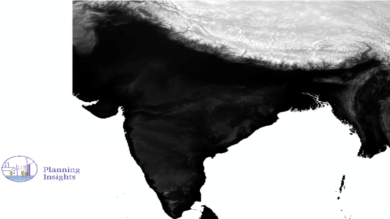
Heat flow india 1965-2010 shapefile for download
Heat flow india 1965-2010 shapefile for download
 Bindu Lakshmi Kakumani
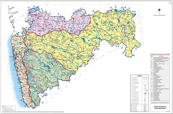
Village-Level Geospatial Socio-Economic Data for the state o
Village-Level Geospatial Socio-Economic Data for the state o
Manisha Chaurasia
Coastlines of India shapefile for download
Coastlines of India shapefile for download
Planning Insights
Village-Level Geospatial Socio-Economic Data for the state o
Village-Level Geospatial Socio-Economic Data for the state o
Bindu Lakshmi Kakumani
Village-Level Geospatial Socio-Economic Data for the state o
Village-Level Geospatial Socio-Economic Data for the state o
Manisha Chaurasia
Village-Level Geospatial Socio-Economic Data for the state o
Village-Level Geospatial Socio-Economic Data for the state o
Planning Insights
Village-Level Geospatial Socio-Economic Data for the state o
Village-Level Geospatial Socio-Economic Data for the state o
Planning Insights
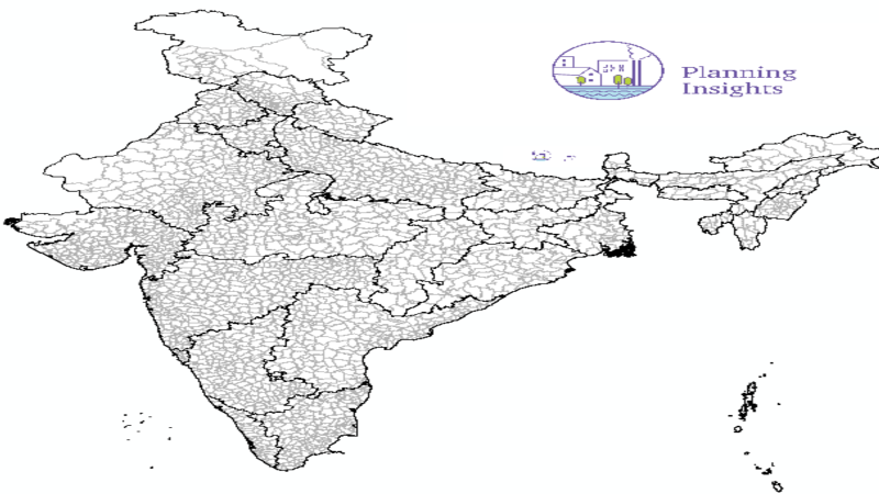
District Boundaries of India shapefile for download
District Boundaries of India shapefile for download
Planning Insights
Village-Level Geospatial Socio-Economic Data for the state o
Village-Level Geospatial Socio-Economic Data for the state o
Manisha Chaurasia
Village-Level Geospatial Socio-Economic Data for the state o
Village-Level Geospatial Socio-Economic Data for the state o
 Anjali Yeole
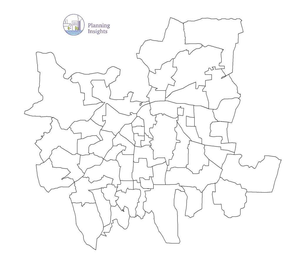
Taluka Boundaries of India shapefile for download
Taluka Boundaries of India shapefile for download
SOUMYA N V