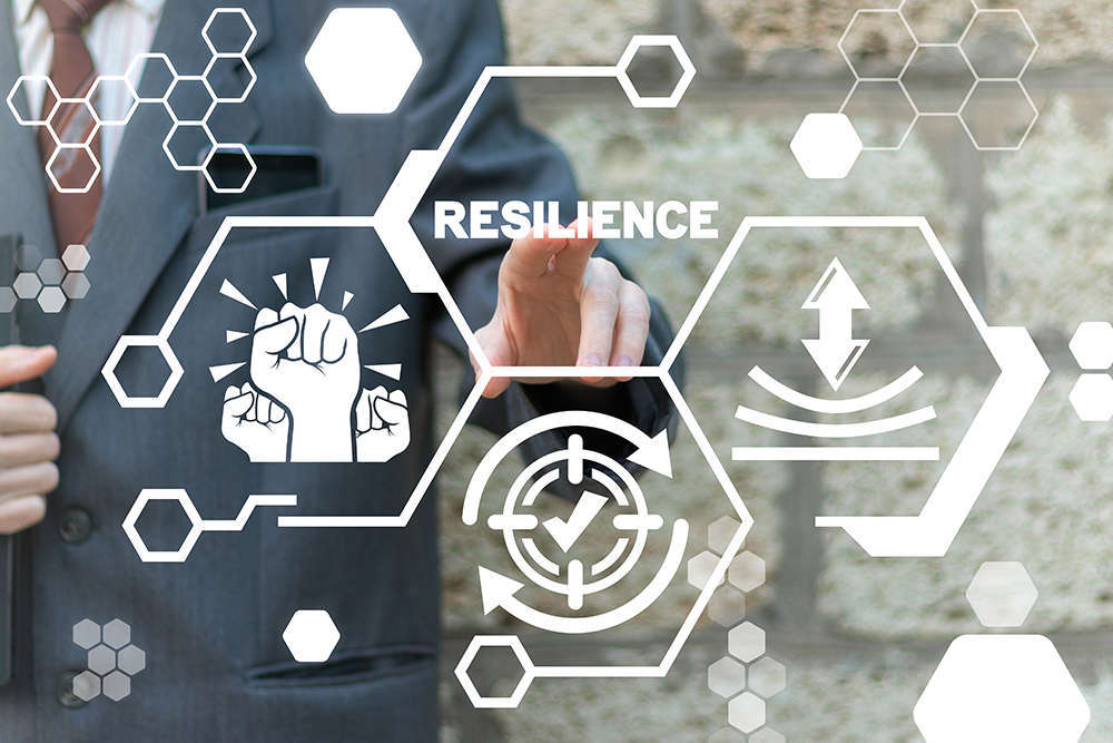
Integrating nature based solutions: Green, Blue and Grey Infrastructure

Climate change is not a new
phenomenon our earth is experiencing. The very reason we are here today is due
to climate change: extinction of Dinosaurs and subsidence of Ice Age. Climate
change is a continuous natural process and cannot be stopped, but then why it
is affecting us today like never before? The reasons may be reduced human adaptability
to climate change due to change in living conditions, haphazard urbanization
leading to concentration of climate related challenges in our cities and
non-resilient nature of our cities to respond to disasters.
With the advent of 3rd
industrial revolution, urban landscape of the world changed. Land became a
commodity rather than a precious resource which was to be used carefully. People
started extensive construction on whichever land they found potential in
regardless of its natural use or presence of natural features on or beneath the
ground. With vertical growth one also needs to dig deep for foundation. This
led to blockage or diversion of natural drainage channels, less permeability
due to concretization of surface, removal of mangroves, natural forests,
shrubs, encroachments on drainage lines due to lack of building control
regulations and levelling of land surface led to disturbing the natural slope
thus impacting flow of storm water. A resulting impact of these man-made
blunders has reduced our resilient capacity to disasters, increased risks of
human loss and exposed our economic engines (cities) to greater loss than the
same disaster would cause in rural areas.
Green Infrastructure is
strategically planned and managed networks of natural lands, working landscapes
and other open spaces that conserve ecosystem values and functions and provide
associated benefits to human populations. The foundation of green
infrastructure networks are their natural elements – woodlands, wetlands,
rivers, grasslands – that work together as a whole to sustain ecological values
and functions. Healthy functioning natural or restored ecological systems are
essential to ensure the availability of the network’s ecological services. (www.greeninfrastructure.net). They can
be categorized as Parks and gardens; amenity green space; natural green spaces
and green corridors.
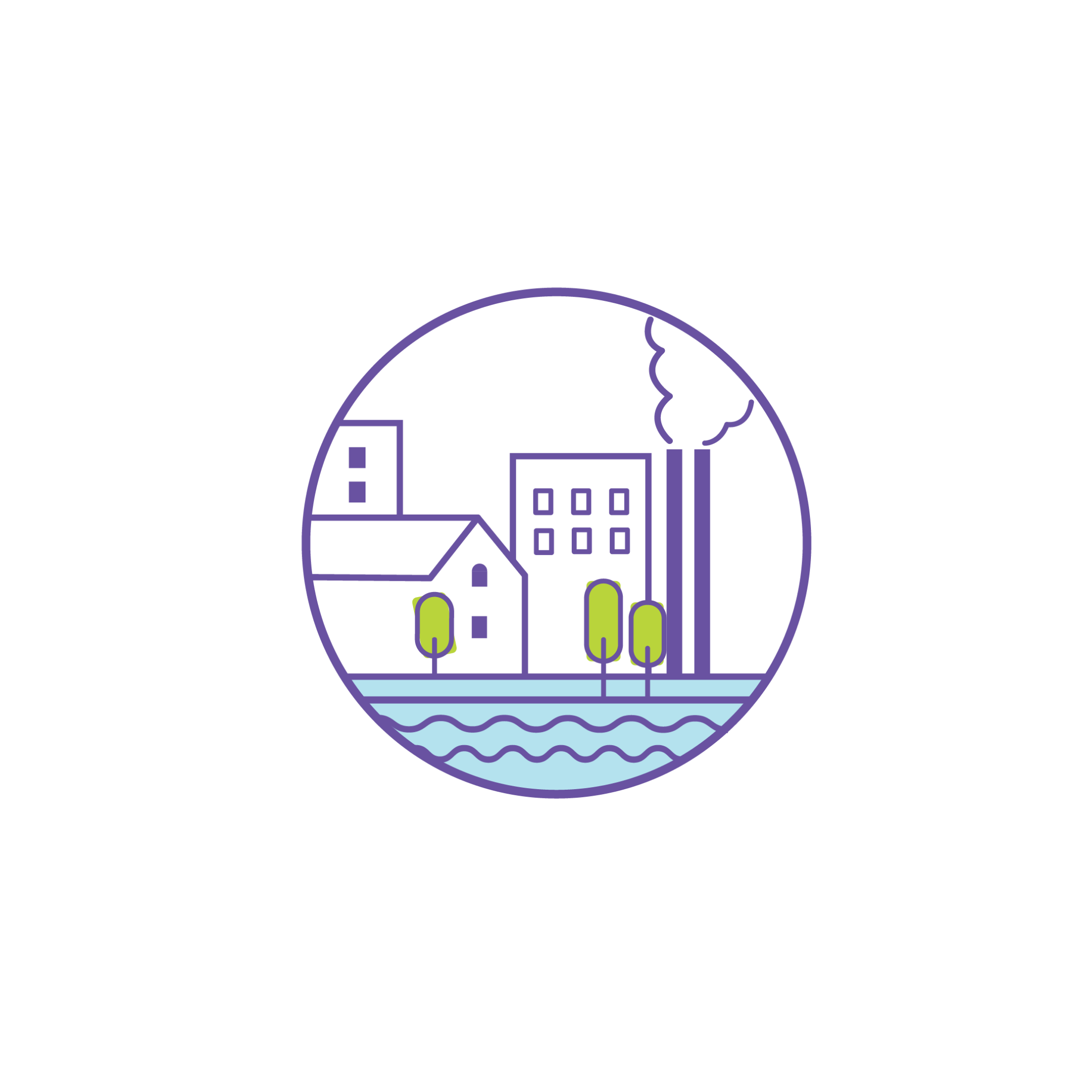
Grey infrastructure refers to
buildings, roads, and other urban constructions. Blue infrastructure refers to
water elements, like rivers, canals, ponds, wetlands, floodplains, water
treatment facilities, etc. (http://bioveins.eu/blog/article). These 3
form an important part of our urban ecosystem and should be equally looked upon
but we tend to focus more on grey infra like constructing tall buildings, wide
roads or new industries. Blue and green infra are often neglected for the cause
of new “modern” construction and this has led to deterioration of our natural
environment, pollution of water resources, manifold deforestation and
encroachments in floodplains, wetlands etc. Adaptation and implementation of Integrated
Green-Grey-Blue Infrastructure Development Framework is an opportunity for
us to improve quality of urban life.
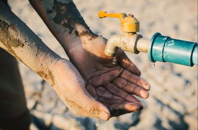
Water
bodies (Rivers, lakes, streams, canals) are an important part of our water
security programme and booster to our engine of growth. They need to be
preserved and maintained at the best standards for comfortable living. If
planned properly, these water bodies along with green infrastructure can be a
place for leisure, tourism and bio-diversity in the hustle and pace of urban
living. Latest technologies like Geographical Information Systems (GIS), remote
sensing and satellite data can be effectively used to implement and maintain
infrastructure in urban areas. High resolution Digital Elevation Models (DEM)
can be generated to delineate watershed areas and collection points of drains.
Also, with effective monitoring, encroachments can be prevented in natural flow
of water. GIS can be used to plan the drainage network for the city with
minimal cost and maximum effectiveness considering the natural slope,
orientation, geography of the area. Sewer drains should not be allowed to
directly connect with a river or lake, instead all drains should be
interconnected and be carried to a sewage treatment plant and after treatment
should be reused in watering of gardens, parks, in flushing of public toilets,
washing of roads etc. and then any excess water be released into water bodies.
According to the new unified DCPR for Maharashtra, 15% plot area has to be left
for amenities and open spaces while building apartments or townships. Water
used in here can be recycled and reused in these open spaces. This way the construction
can also achieve zero net discharge tag.
Storm water
drain network should run parallel to all roads of the city and be made of
material which would allow water to percolate in the ground. All roads should
have a slope from the median to the shoulders to make run-off easy. Low-lying
areas or flood prone areas can be identified through GIS and can be converted
into open public spaces serving dual purposes of recreation and flood
mitigation. Household rainwater harvesting system should be made a compulsion
which would reduce the strain on the storm drain network. Also, community level
rainwater harvesting can be done on gardens, parks, medians of roads to avoid
flash floods and at the same time increase water storage capacity. Pavements
should be made of permeable material so as to allow natural recharge of
groundwater. Rooftop parks and gardens can reduce the surface runoff and help
in flood management.
Buffer of
50m on both sides of river outside municipal boundary and 20m within municipal
boundary should be declared as bio-diversity zone. Horticulture and orchards
should be planted outside the municipal limit and riverfront development, cycle
track, roads, gardens, parks, open-air theatre, open-air library etc can be
built in the 20m buffer zone within municipal limits. The pilot project to
revitalize the Waghari River of Yavatmal District was based on this theme.
Dense afforestation on both banks prevented top soil erosion, held water thus
preventing flooding, acted as oxygen powerhouses for the surrounding area,
supported growth of natural flaura and fauna, created a habitat for wildlife to
flourish and most important of them helped make the river perennial. For areas
within municipal limits, the 20m buffer can be utilized to create world-class open
and recreational spaces. Riverfronts and lakefronts, botanical gardens,
butterfly parks, drive-in theatre, amphitheater, sky observatories, exhibition
spaces, cycle tracks, yoga centers etc. can be developed in this zone. Only
soft scaping be done and maximum area should be covered through plantations.
Essential construction should be done through locally available construction
material only and use of concrete should be prevented. The concept of sponge
cities can very well be implemented in these areas. The Sabarmati riverfront
and the Kakadia Talav of Ahmedabad are excellent examples of integrating
green-blue infrastructure in urban India. Another example by a community
organization has been Mission Sujalam Sufalam, wherin they desilted, deepened
and widened all the major water bodies, tanks, streams and canals of Buldhana
district. The silt, rich in minerals and very fertile was excavated,
transported and supplied for free to farmers of the region, who spread and
mixed it with the topsoil of their farms thus increasing fertility and
productivity of the land. This mission helped in mitigating drought conditions
by increasing water storage capacity, reducing run-off and increasing the
bearing capacity of soils as well as the water table. This model was accepted
by NITI Aayog and further moderated to include development of mini-forests,
afforestation and green spaces around major lakes and tanks of the district.
Community
and self-help groups should come forward and take responsibility for the
maintenance of neighborhood parks, city gardens and other open spaces in the
city. Also, rooftops can be better utilized for terrace farming or for
gardening. Medians of roads and shoulders of pavements can be dotted with
plantations of native trees. All this would help in reducing the urban heat
island effect and also lessen the strain on our already weak storm and sewer
infrastructure. Development and maintenance of green infrastructure is
affordable as compared to development of new storm and sewer infrastructure. Also,
many studies have proved that green spaces have multitude of physiological and
social benefits on the urban dwellers apart from its environmental benefits. Integration
of green-grey-blue infrastructure can help in increasing quality of life,
designing citizen oriented public spaces and improve ease of living in our
cities.
A case
study wherein all the 3 infrastructures are interwind to deliver a project
which is of national, spiritual and religious importance. An integrated ganga
conservation mission “Namami Gange” was approved as the flagship programme for
abatement of pollution, conservation and rejuvenation of the river. The
budgetary outlay of this mission is Rs. 20,000 crores over 5 years with a
vision to create a “Nirmal Ganga” as well as “Aviral Ganga”. The mission
statement includes:
·
to restore the self-purifying and special properties
of Ganga-Jal
·
comprehensive study on communities depending on Ganga
·
spatial mapping
·
strong sewerage infrastructure
·
abatement of industrial pollution
·
development of low-cost sanitation facilities
·
promotion of organic farming along the river bank
·
riverfront development for major ghats
·
afforestation on a massive scale through public
participation
·
maintain ecological integrity by conserving the Gangetic
flora and Fauna.
A
consortium of 7 IITs prepared a detailed action plan and identified some
special properties such as the self-cleansing properties of Ganga Jal. They
recommended to maintain the BOD levels, regular water monitoring and release of
special naturally occurring bacteria into the river so as to conserve it.
States were guided to prepare DPRs to construct Sewage Treatment Plants (STP)
and obstruct the discharge of any kind of untreated wastewater directly into
the Ganga. STPs have now been operationalized in over 80% of cities lying along
the river and all works have been awarded.
A social
impact analysis and a study to determine the dependence on the Ganga for
livelihood has been done to understand the problems faced by these communities
and address them through strategic interventions. The interventions were made
through proper designing of riverfronts, ghat redevelopments and reserving
ample space for these communities involved in activities such as Mundan, doing
last rites of people and other religious cum spiritual activities. Also,
dumping in open was prohibited and people were convinced to use toilets for
answering nature’s call. Regular inspection of black spots and their
beautification was done to prevent people littering those spots again.
For all
these initiatives to be long-term it is important that they are economically
viable and self-sustainable. It was recommended to start water cargo through
the river course and for this a minimum 3m depth has to be maintained all year
round. Regular desludging and desilting of river bed are recommended. Passenger
cruise are planned on Ganga along with diving activities for watching the
special Gangetic Dolphins. At major urban centers, riverfront development with
building of new ghats, gardens, pathways and cycle-tracks are undertaken. Laser
shows, water fountains and annual fairs are also planned along the river. All
these activities would generate a chunk of revenue for local businesses,
artisan, dependent communities, increase tourist inflows and would
automatically maintain the clean, Nirmal and Aviral state of the Ganges.
Once
completed Namami Gange would provide multitude benefits to all the areas along
it and indirectly benefit the national environment and economy. It would reduce
frequent flooding of low-lying areas every monsoon, provide fertile silt to
farmers, help grow riverine biodiversity, absorb carbon emissions and most
importantly give a pleasant living experience to communities along the river.
It would be the best case wherein Green infrastructure is built and developed
in tandem and integration with Grey and Blue infrastructure.
References:
3. https://nmcg.nic.in/pdf/13_Guide%20Lines%20IAndD%20and%20STP%20-%20Final.pdf
4. http://sujalamsuphalam.org/